The multi-satellite system integration enables unprecedented accuracy in location tracking, combining signals from GPS, GLONASS, SBAS, and BeiDou satellites to provide precise positioning data in challenging environments.
Seeking Real-Time Excellence?
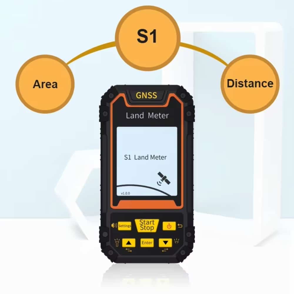
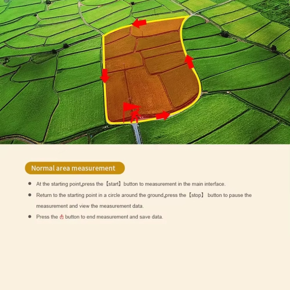
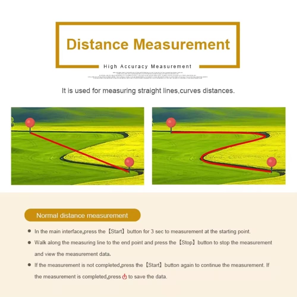
Real-time tracking capabilities offer instant feedback on movement patterns, distance covered, and area measurements, making it ideal for professional surveying tasks and field operations.
Want Comprehensive Coverage?
The advanced measurement tools seamlessly handle various terrain types, providing accurate area calculations through both normal and length/width methods, ensuring versatility in different surveying scenarios.
Unleash the Power of Multi-Constellation Navigation
4.8 rating based on total orders
Revolutionizing Land Surveying with Cutting-Edge Technology
PlaExplo delivers professional-grade land surveying capabilities with multi-satellite accuracy, comprehensive measurement tools, and intelligent data management for optimal field performance.
“The PlaExplo’s multi-satellite system has revolutionized our surveying work. The accuracy is impressive, and the real-time tracking feature saves us hours of work.”
The integration of four satellite systems delivers precision within centimeters, making it ideal for professional land surveying, construction planning, and geographical mapping projects.
ENHANCED RELIABILITY
Dual power system with lithium and AAA battery support guarantees uninterrupted operation during extended field work.
ENVIRONMENTAL ADAPTABILITY
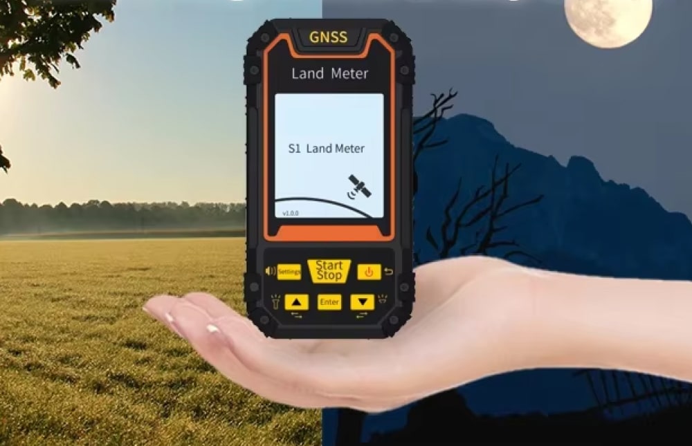
Wide operating temperature range from -20°C to 65°C ensures consistent performance across diverse weather conditions.
INTELLIGENT FUNCTIONALITY
The comprehensive suite of measurement tools, including normal and L/W area calculations, ensures versatile application across different surveying scenarios.
USER-FRIENDLY DESIGN
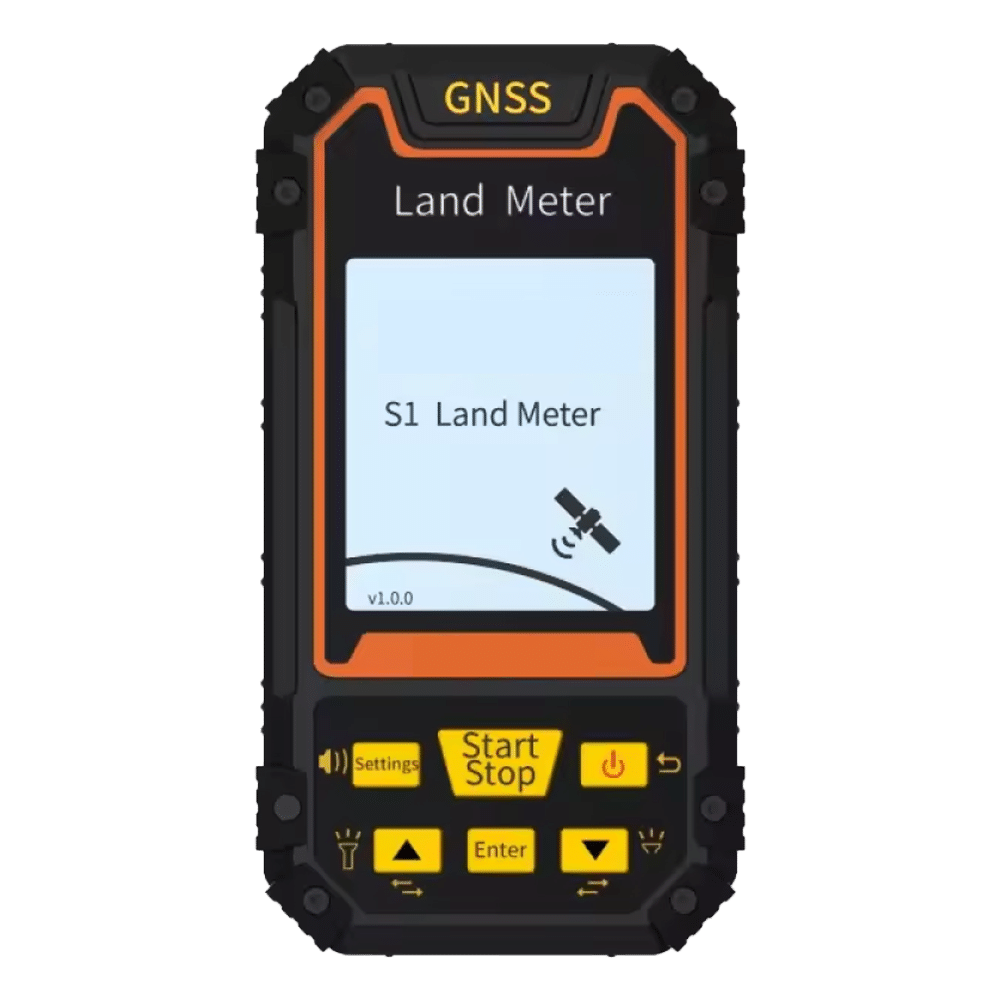
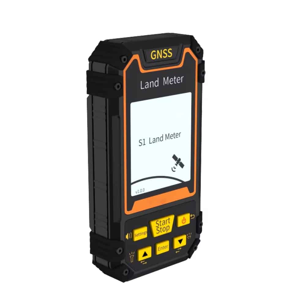
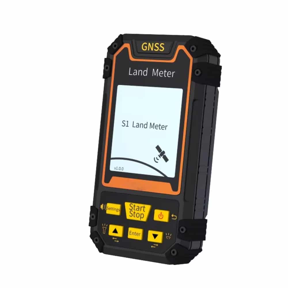
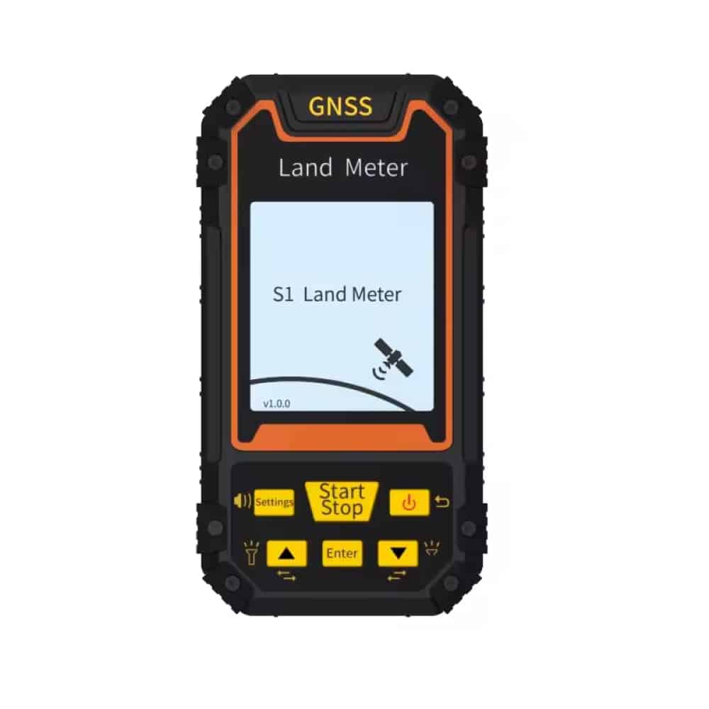
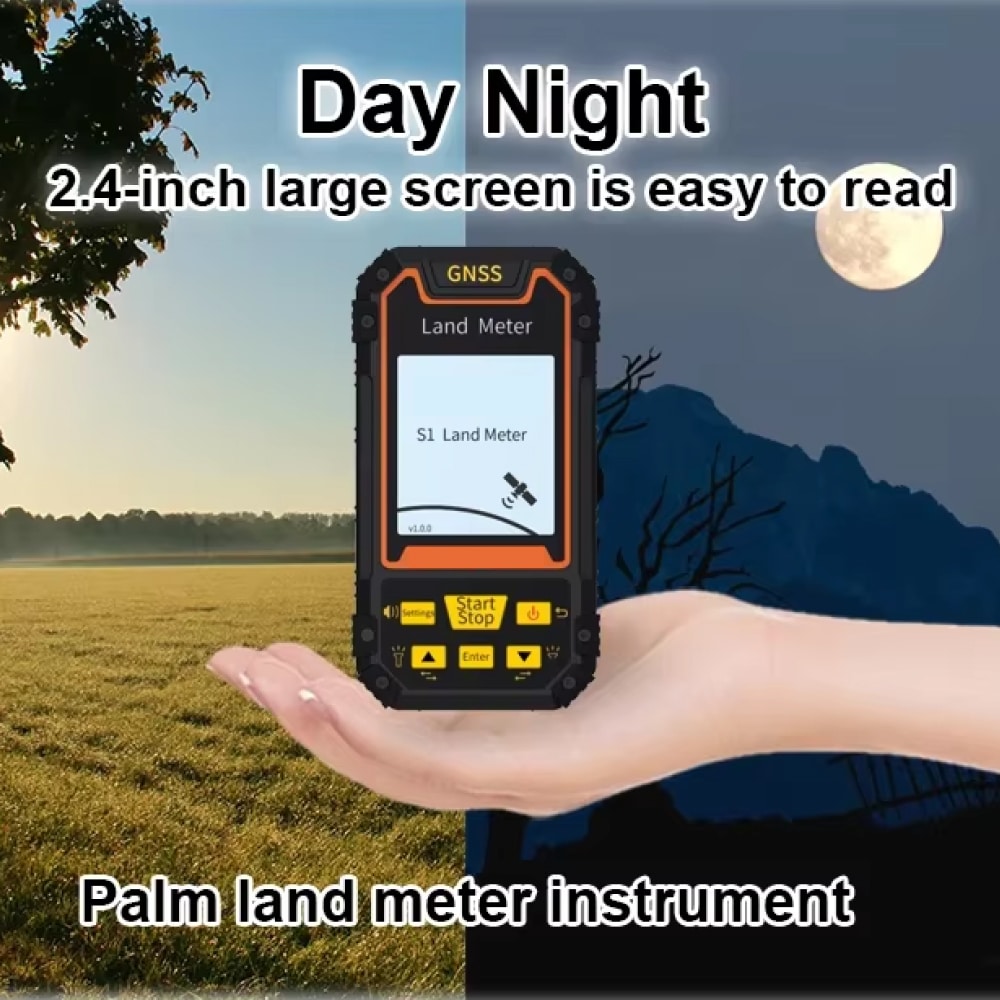
The 2.4-inch screen with intuitive interface enables quick access to essential functions while maintaining professional-grade capabilities.
DATA MANAGEMENT
Advanced statistics and historical record keeping facilitate comprehensive project documentation and analysis.
Image Gallery
What's Included in Your Package
Receive an invitation to join our exclusive Facebook Group.
PlaExplo Packaging Box
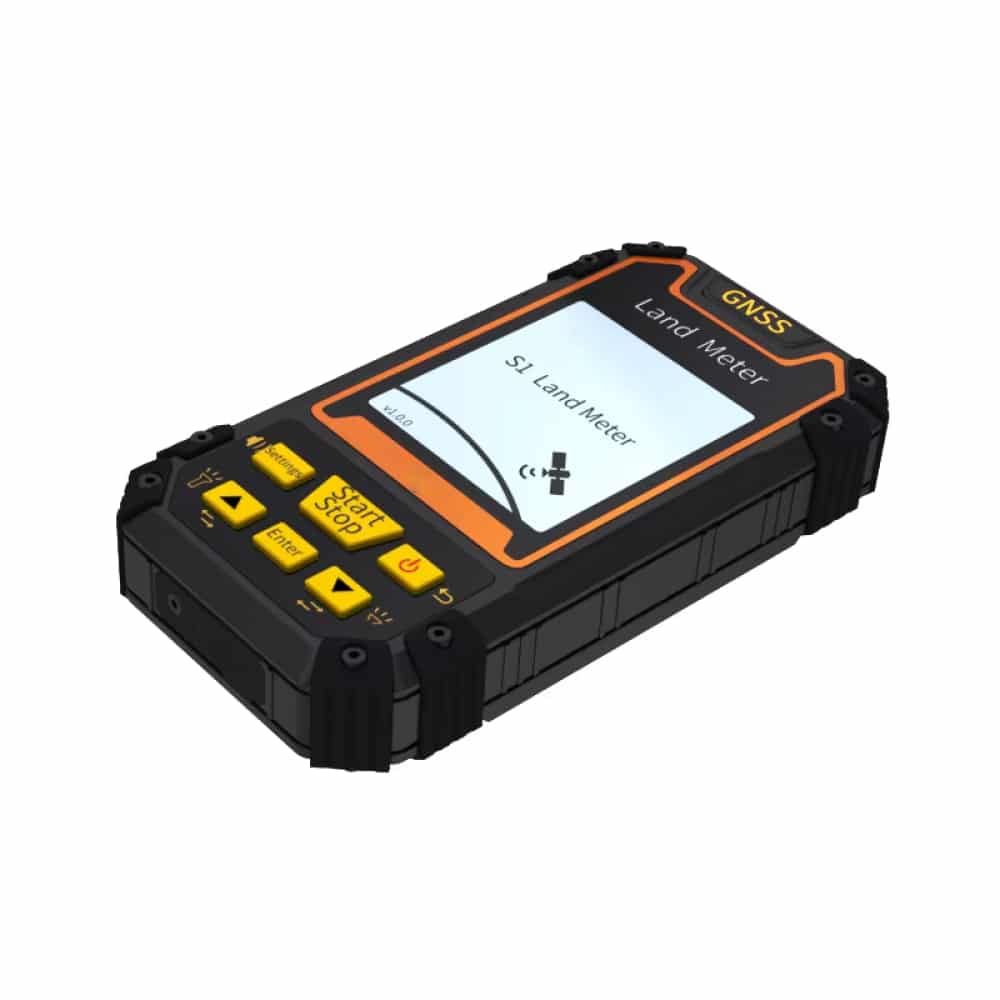
GPS Land Meter
24/7 Customer Support
We understand the value of your time. That’s why our team is trained to respond promptly and efficiently, ensuring your queries and issues are addressed without unnecessary delays.
The S1 provides highly accurate measurements by utilizing four satellite systems (GPS, GLONASS, SBAS, BeiDou) simultaneously. Typical accuracy is within centimeters under optimal conditions.
The dual power system combines a rechargeable lithium battery with AAA backup support, providing extended operation time. Standard usage typically allows for full-day operation.