The integrated multiple satellite network delivers extraordinary coordinate precision, merging signals from GPS, GLONASS, SBAS, and BeiDou constellations to ensure exact location data even in difficult terrain.
After Instantaneous Performance?
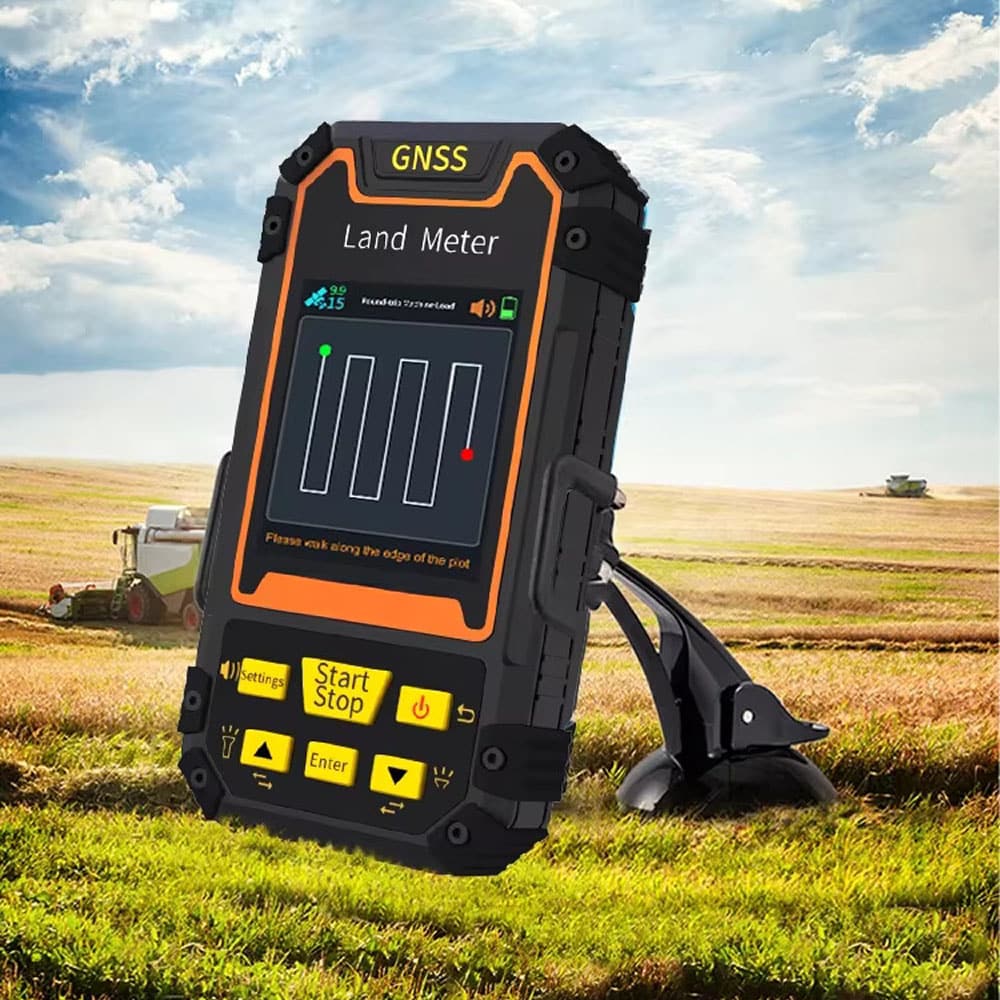
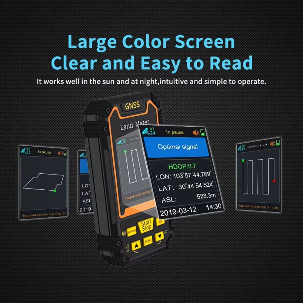
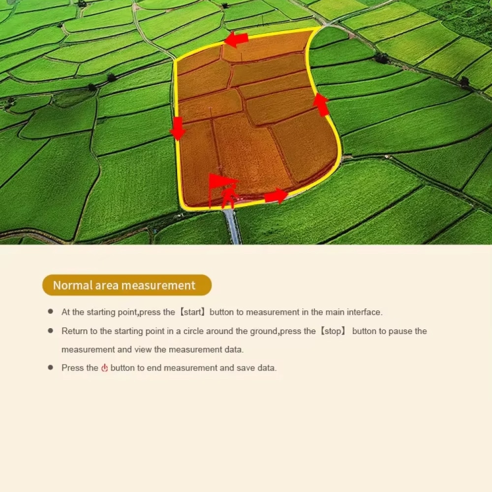
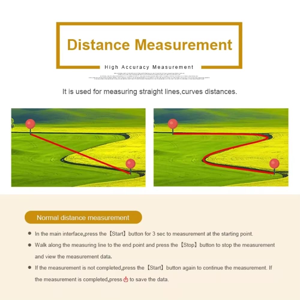
Live positioning functions provide immediate updates on movement metrics, distancing results, and surface quantification, perfectly suited for expert field measurement tasks and outdoor assignments.
Desire All-Terrain Functionality?
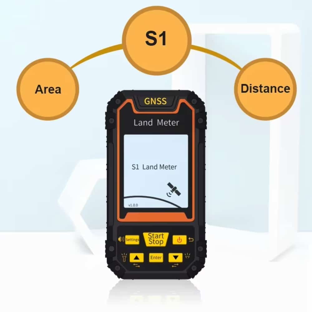
The sophisticated assessment instruments effortlessly accommodate diverse landscapes, delivering exact surface computations via standard and dimensional approaches, ensuring adaptability across various field measurement scenarios.
Harness the Capabilities of Cross-Constellation Positioning
4.8 rating based on total orders
Reshaping Boundary Assessment with Next-Generation Handheld GPS
NavPathi offers top-tier field measurement capabilities featuring cross-constellation precision, complete assessment instruments, and smart information coordination for peak outdoor efficiency.
Sophisticated Information Metrics and Documentation
“The NavPathi’s multiple satellite configuration has transformed our boundary assessment operations. The precision is remarkable, and the live positioning capability reduces our workload significantly.”
The combination of four satellite networks provides measurements accurate to centimeter level, perfectly suited for professional property assessment, construction planning, and topographical cartography initiatives.
HEIGHTENED DURABILITY
Twin energy source with lithium and AAA power backup ensures continuous functioning throughout prolonged fieldwork sessions.
INTELLIGENT CAPABILITY
The extensive range of measurement utilities, incorporating standard and length/width surface computations, guarantees adaptable application across various assessment scenarios.
USER-CENTERED INTERFACE
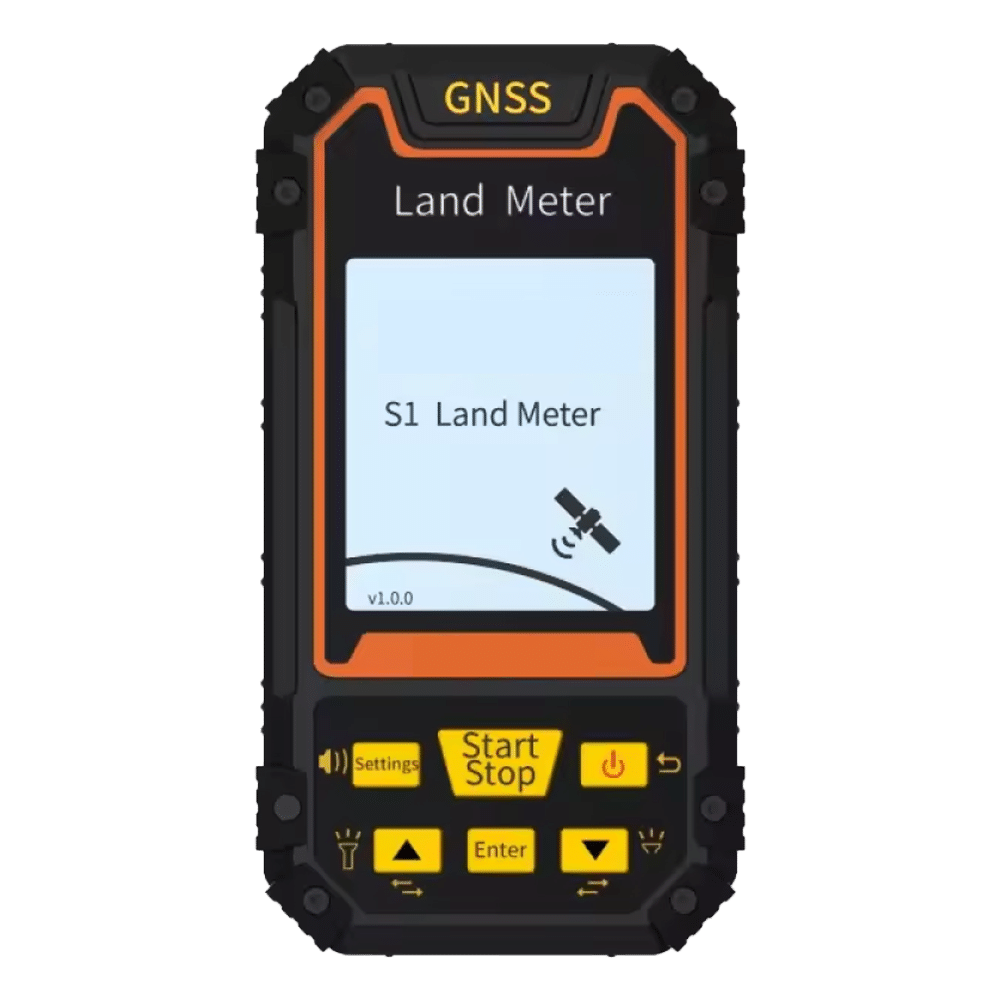
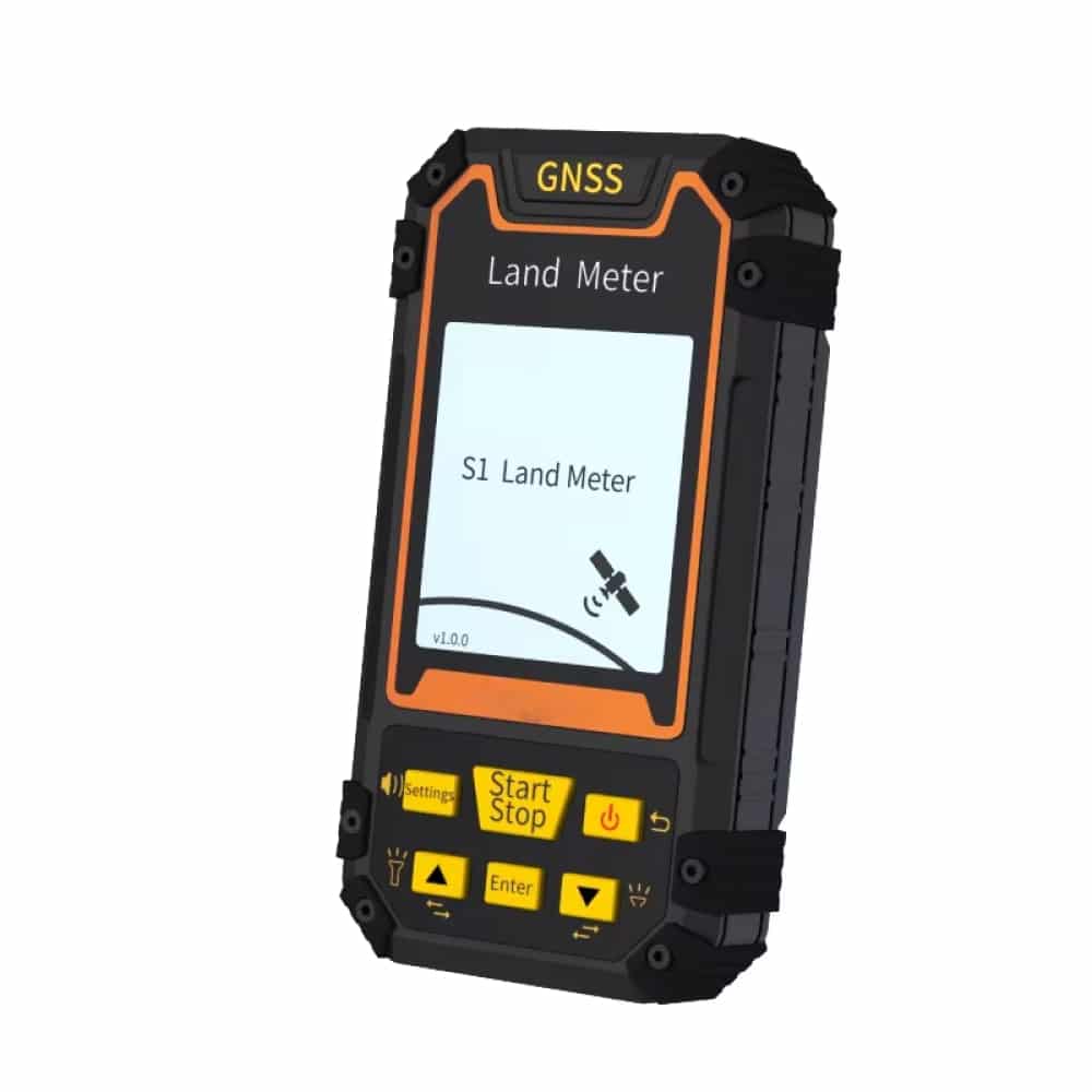
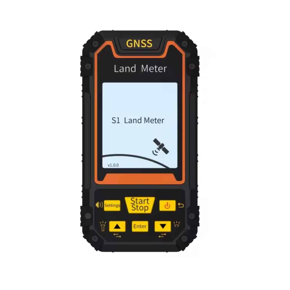
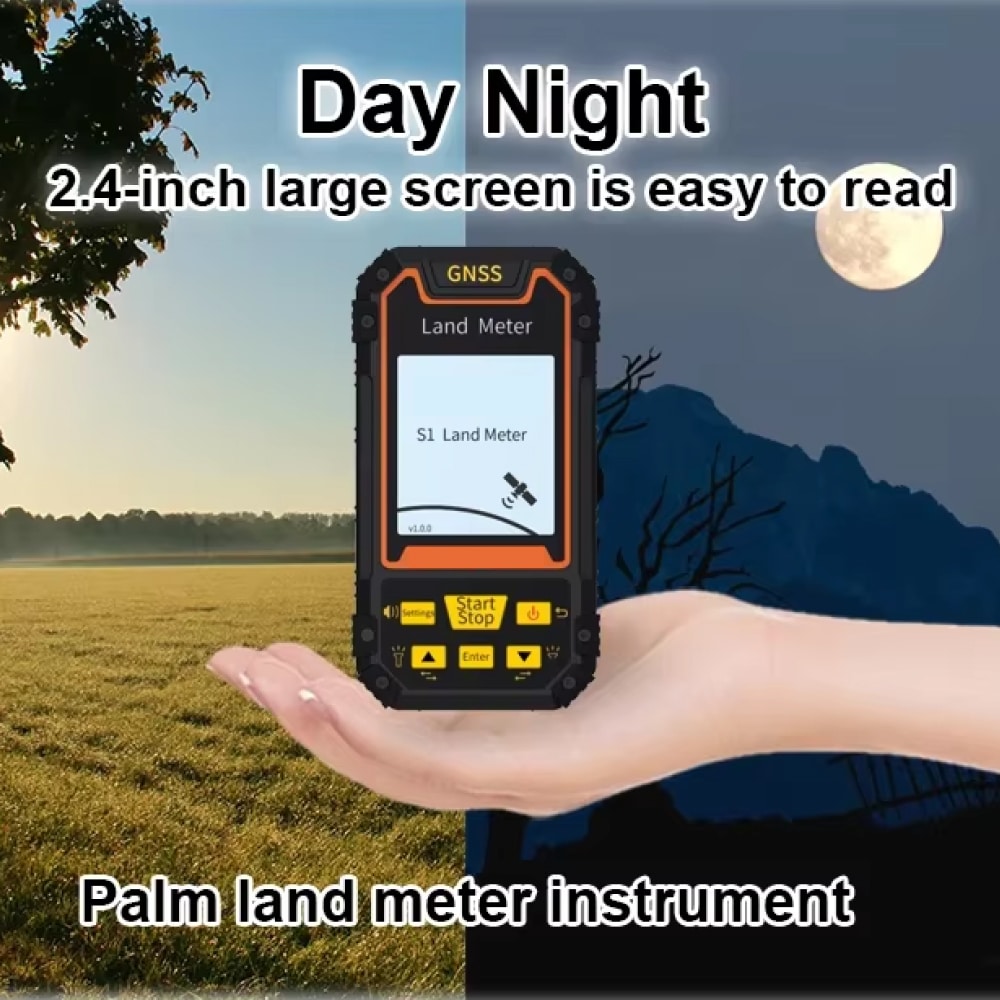
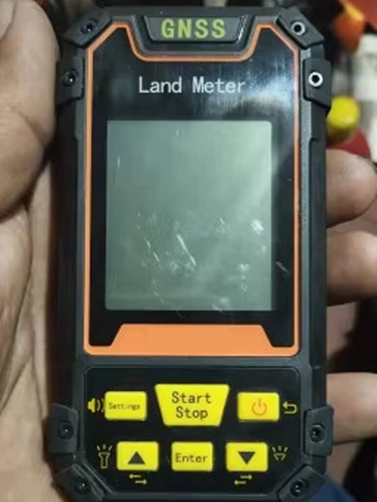
The 2.4-inch display with straightforward navigation enables swift access to critical functions while maintaining professional-caliber performance.
ENVIRONMENTAL RESILIENCE
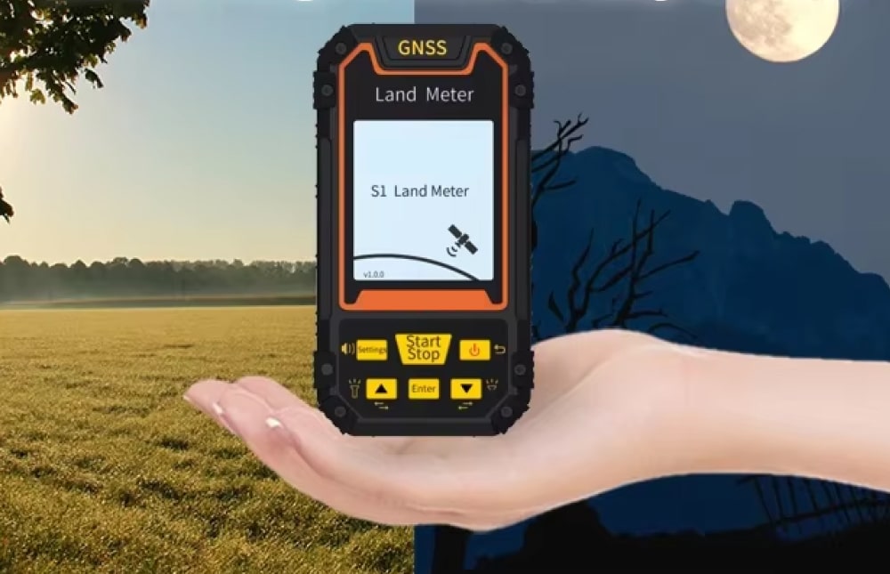
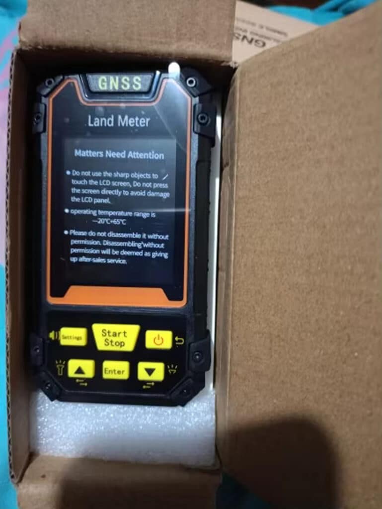
Broad operational temperature spectrum from -20°C to 65°C guarantees steady performance across diverse climatic conditions.
INFORMATION HANDLING
Sophisticated analytics and chronological record maintenance facilitate thorough project documentation and evaluation.
Image Gallery
What's Included in Your Package
Receive an invitation to join our exclusive Facebook Group.
NavPathi Packaging Box
Handheld GPS
24/7 Customer Support
We understand the value of your time. That’s why our team is trained to respond promptly and efficiently, ensuring your queries and issues are addressed without unnecessary delays.
The twin power configuration integrates a rechargeable lithium cell with AAA backup support, providing extended operational duration. Routine usage typically permits full-day operation.
The 2.4-inch screen is engineered for outdoor visibility, and the adjustable illumination ensures clear readability across various lighting environments.
Yes, the S1 offers flexible unit settings and Mu configurations to match your specific project requirements.
TRANSFORMING LAND SURVEYING WITH NAVPATHI INNOVATION
Experience Exactitude and Consistency with the Supreme Property Assessment Assistant
Remi R.
I’m impressed by how accessible yet powerful this device is. The voice direction and clear display make complex measurements straightforward.
Anna K.
The dual energy system gives me assurance during extended field sessions. The data management capabilities are outstanding for monitoring multiple projects.
Leiseil M.
Perfect equilibrium of professional attributes and practical design. The customizable options and comprehensive measurement tools surpass expectations.